Why climb on foot
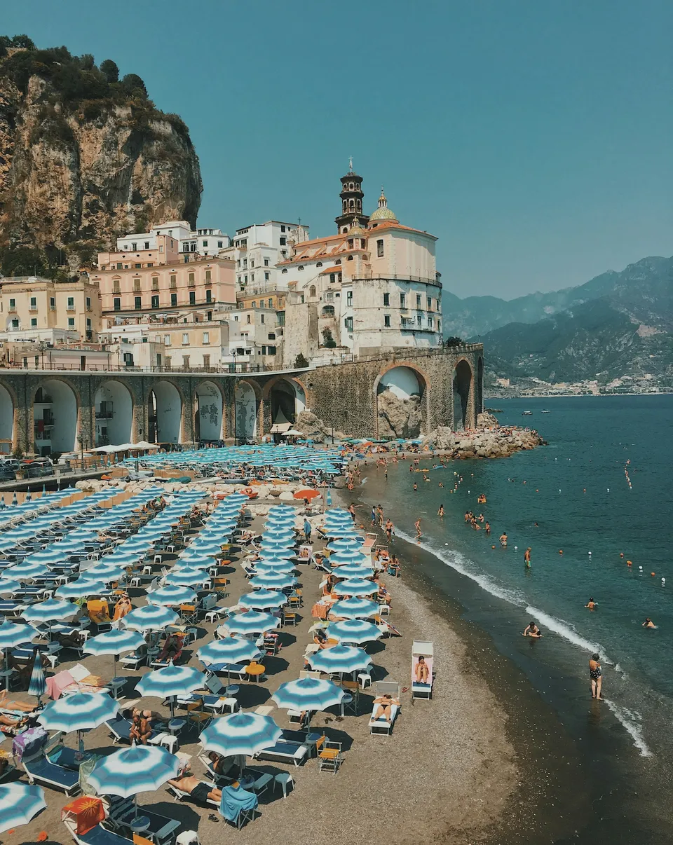
Atrani and Ravello are close as the crow flies, but separated by a steep difference in elevation: the village is at sea level, while Ravello looks out from high above the coast. Before the carriage roads, those who lived in Atrani went inland along these very routes, made of steps, dry-stone walls, and passages between vegetable gardens.
Doing it on foot means reading the landscape as they once did: the terraces, the scattered houses, the valley narrowing above the village. It is not a postcard stroll in flip-flops, but neither is it a mountaineering feat: it calls for legs used to ups and downs and a bit of planning.
The start: from Atrani's lanes upward
The walk begins among the houses of Atrani, where the stairways and covered passages of the village almost imperceptibly start turning into a trail. Just look up to get your bearings: above the built-up area you can make out the Torre dello Ziro, a useful landmark for understanding the direction of the ascent.
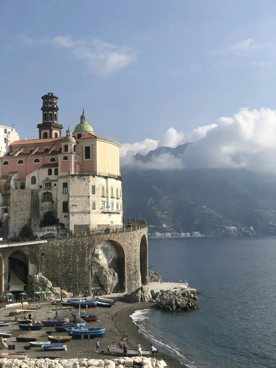
The first stretches are the steepest and closest to the homes. It is best to take them at a steady pace, pausing at the points where the view opens over Atrani's rooftops, the majolica dome of the Collegiata, and the sea.
The middle stretch: the valley and Pontone
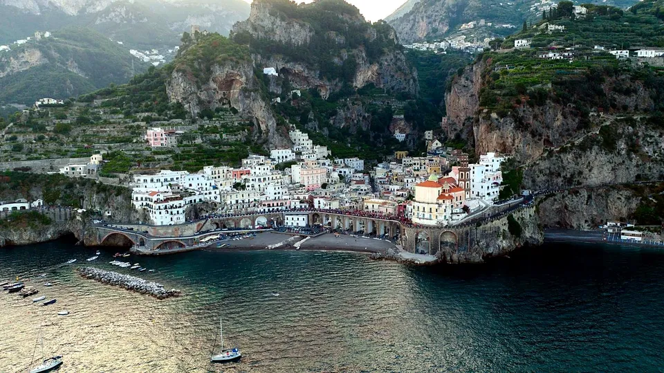
As you climb, the route enters the landscape of the Valle del Dragone, the same one that descends to the sea right at Atrani. Here the noise of the village fades away and you walk among vegetation, cultivated terraces, and sudden glimpses of the coast.
One of the route's landmarks is Pontone, a small hamlet of Scala, reachable by the paths that climb up from Atrani. It is a natural place to catch your breath before the stretch toward Ravello. Depending on the variation chosen, the connections can change: for this reason, it is a good idea to consult an updated trail map.
Arrival in Ravello
When stairways give way to the first garden walls, you know you are close. Ravello is a town of terraces and viewpoints, famous for its historic gardens and its music: Villa Rufolo and Villa Cimbrone are the best-known places, along with the Duomo that overlooks the main square.
After the climb, the square is the right place to sit down and slow the pace. If you want to visit villas or gardens, check opening times in advance directly on the official websites.
What to bring and how to prepare
A trail of steps and uneven ground calls for a minimum of care:
- shoes with treaded soles and good grip, avoiding sandals and smooth soles;
- enough water, because along the route refueling points are not guaranteed;
- a light layer for the wind at altitude and, in the warm season, a hat and sun protection;
- a small backpack, to keep your hands free on the steps;
- a charged phone and, if possible, a map downloaded in advance, because coverage can be patchy in the valley.
When to go and how to get back
The cool hours of the morning are the most pleasant, especially in the warmer months, when the sun-exposed steps become tiring. Spring and early autumn generally offer milder temperatures and clear light for photos.
For the return, you have two choices: descend along the paths, keeping in mind that going down on damp or uneven steps strains the knees, or travel back using public connections between Ravello, Amalfi, and Atrani. Timetables and services vary throughout the year: always check the official channels of the transport companies and the Comune.
Safety and official information
The trails of the Amalfi Coast are subject to maintenance, landslides, and temporary closures, especially after heavy rain. Before setting out, check the condition of the paths with local tourist offices, the Comune, or the bodies that manage the trail network of the Monti Lattari.
In case of bad weather or doubts about the route, it is always better to postpone. During the ascent, respect dry-stone walls and private property, close the little gates behind you, and do not leave litter: these paths cross orchards and terraces that are still cultivated.
Frequently asked questions
Is the trail from Atrani to Ravello suitable for everyone?
It is a route of steps and mule tracks with a significant elevation gain, suitable for those who are used to walking. It is not recommended for people with mobility difficulties or those who suffer from vertigo; for children, maximum attention is needed on exposed sections.
Can you do the return trip without walking?
In general, there are public connections between Ravello, Amalfi, and Atrani, but timetables and frequency change according to the season. Always check the updated information on official channels before planning your day.
How can I check whether the trail is passable?
Contact local tourist offices, the Comune, or the bodies that manage the trails of the Monti Lattari, especially after periods of heavy rain, when there may be closures or damaged stretches.
Sources and useful links
Times, prices and services can change: always check with the official sources before you travel.
Updated: 2026-10-26