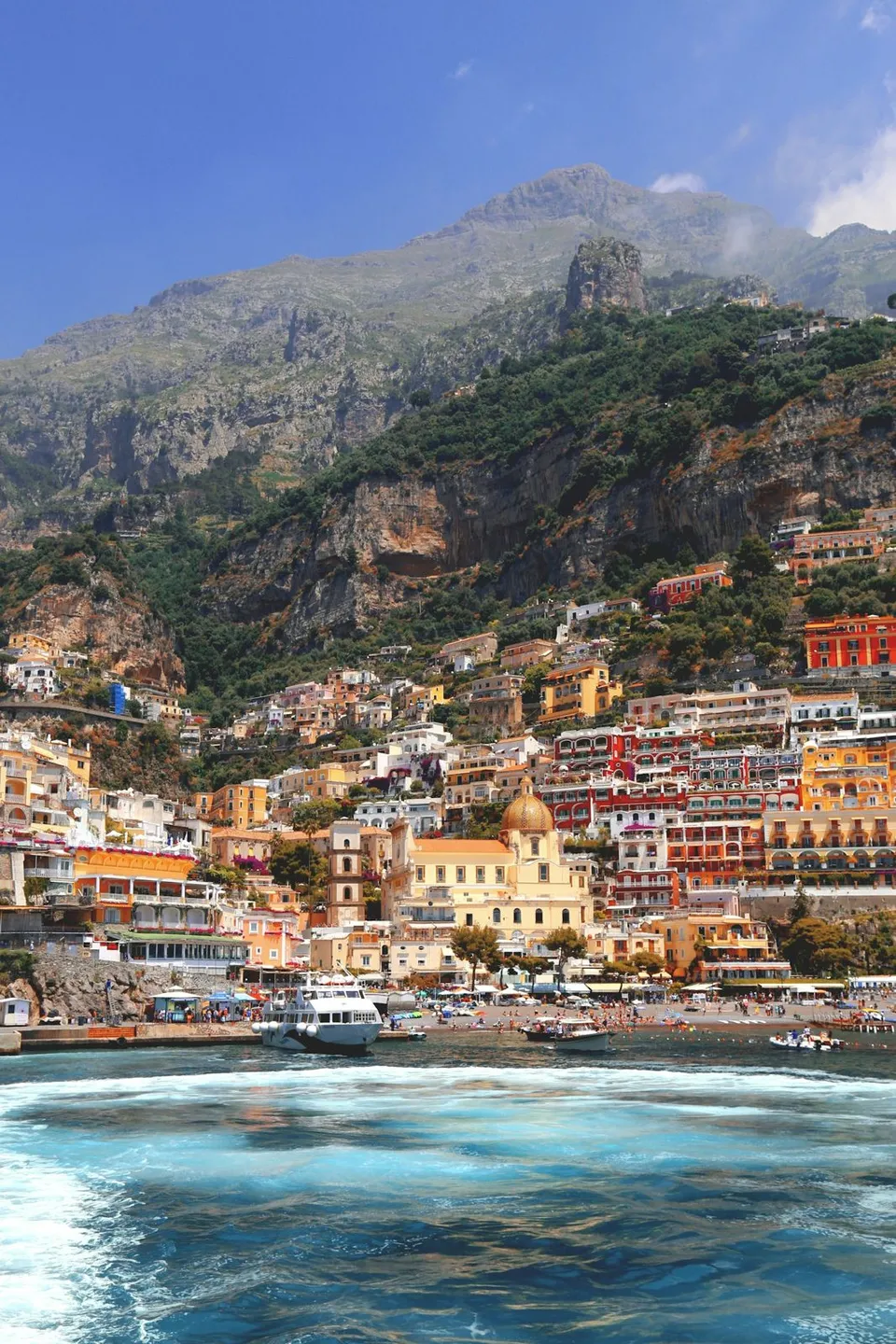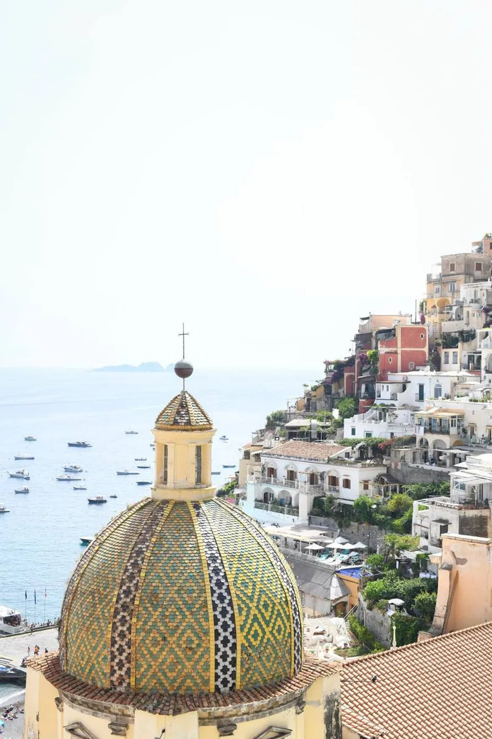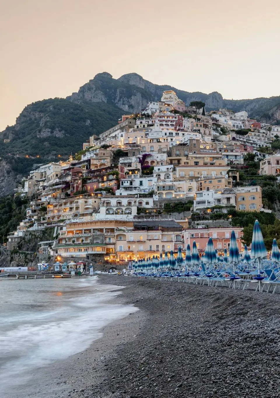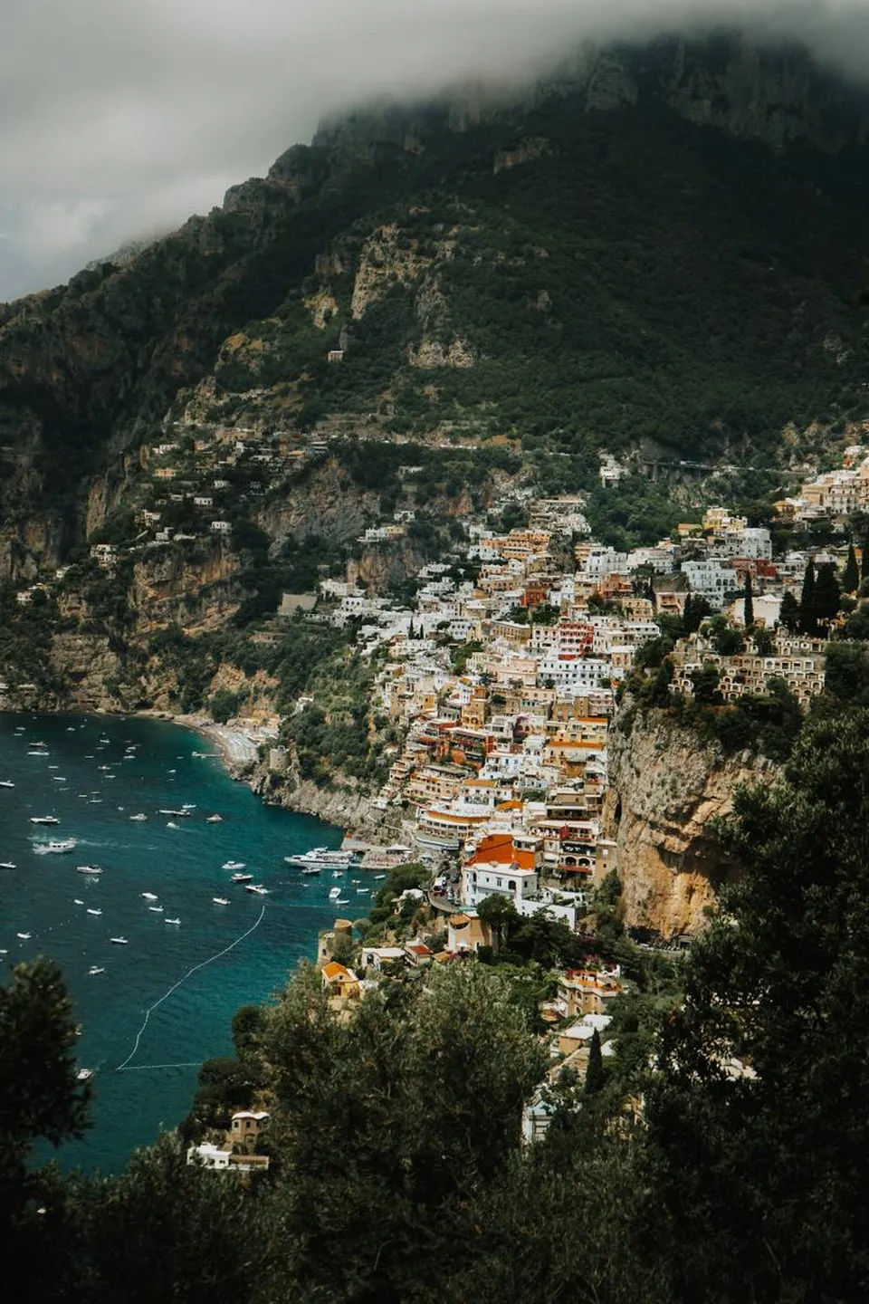
A trail suspended between sky and sea
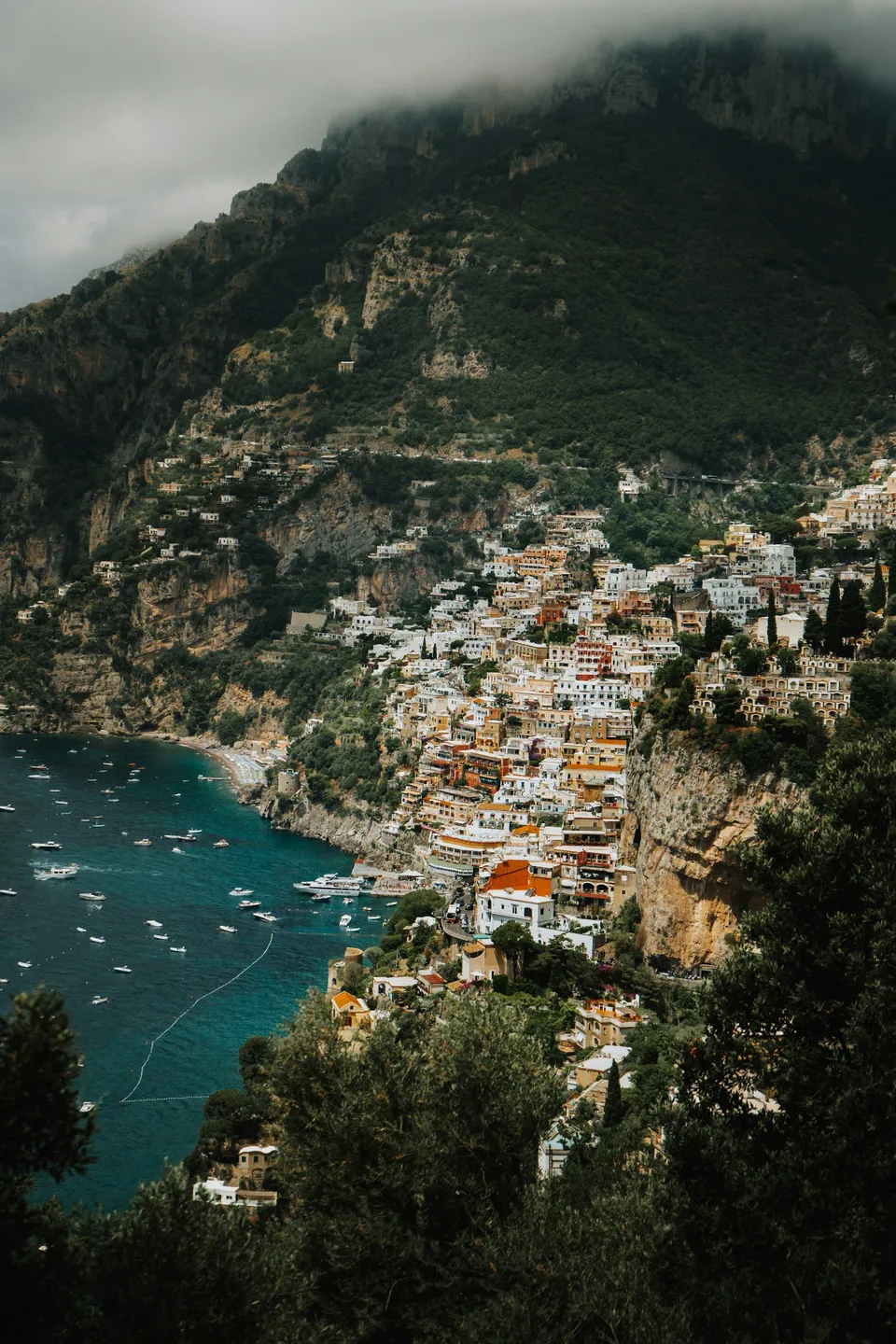
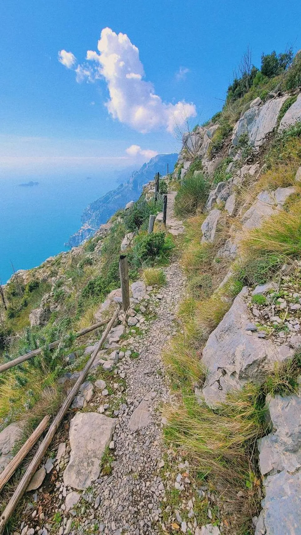
The Path of the Gods is not a stroll along the seafront: it sits much higher up, along the slopes of the Monti Lattari, within the Regional Park area. From there you see the coast from above, with sheer cliffs dropping away and water that changes color at every turn.
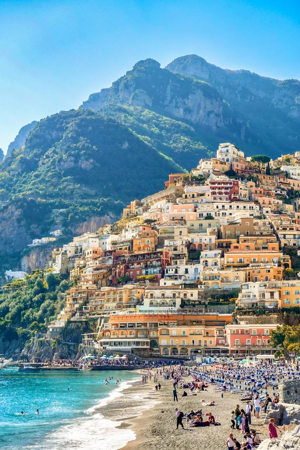
For anyone visiting Positano, it is a chance to discover the mountain side of the area. The destination, Nocelle, is a high, quiet hamlet and the natural end point of the route.
From Agerola to Nocelle: why in this direction
The classic route starts from Bomerano, a hamlet of Agerola, and ends at Nocelle. The advantage is obvious: you mostly walk at altitude or on a gentle descent, with the view in front of you rather than behind.
To reach the starting point, people usually take the buses that climb from Amalfi toward Agerola. Lines and departures change with the season: check the up-to-date information from the public transport operators before fixing your day.
The route, stretch by stretch
The start
You leave Bomerano among houses, vegetable gardens and terraces. The first steps are easy and help you find your rhythm, while the Mediterranean vegetation becomes ever more present.
The middle stretch
This is the most spectacular part: the path follows the mountainside with the sea far below and, on clear days, an open horizon toward Capri and the Li Galli islands. Some passages are exposed and the ground is uneven, with stones and natural steps: proceed with care, without rushing.
Approaching Nocelle
Toward the end the landscape softens and the first signs of farming life appear: low walls, vegetable gardens, scattered houses. Then you reach Nocelle.
Nocelle and the descent to Positano
Nocelle is a small village suspended above the sea, where you can stop to catch your breath before heading back. To return to Positano you can walk down a long staircase that crosses the upper part of the town, or consider the local connections available.
The staircase is scenic, but after hours of walking it puts your knees to the test: trekking poles and a steady pace help a lot. If you prefer to avoid it, find out in advance about the transport alternatives, which may vary.
What to bring
- Hiking boots or trekking shoes with a grippy sole: the ground can be uneven and slippery.
- Enough water: you cannot take it for granted that there are refreshment points along the route.
- A hat, sun protection and a light layer for the wind at altitude.
- A small, comfortable backpack with something to eat.
- A charged phone and a map of the trail, even one downloaded offline.
When to go and how to behave
The shoulder seasons are the most pleasant: in high summer the heat on the exposed mountainside can be tiring. Starting early helps you avoid the hottest hours and the crowds, as the route is very popular.
Follow the signs, stay on the trail and do not leave litter. After recent rain or in strong wind, the exposed sections become more delicate: in that case it is wise to postpone.
Check before you set out
Landslides, fires or maintenance work can limit access to the trail, even for extended periods. Before leaving, check the official communications from the municipality, the Monti Lattari Regional Park and the local CAI sections.
Also check the weather conditions and the public transport timetables for both the outward and return journeys. A well-planned day makes the walk safer and the view at the end even more rewarding.
Frequently asked questions
Is it better to hike the Path of the Gods from Agerola to Nocelle or the other way around?
The most common direction is from Bomerano (Agerola) to Nocelle, because you walk largely at altitude or downhill, with the view ahead of you. The opposite direction is possible but more demanding, because of the long climb at the start.
Do I need any special equipment?
No technical gear is needed, but hiking shoes, water, sun protection and a bit of fitness are recommended. Some sections are exposed: those who suffer from vertigo should consider this carefully.
How do I check whether the trail is open?
Consult the official communications from the municipality, the Monti Lattari Regional Park and the CAI. Conditions can change due to bad weather, landslides or works, so it is best to check shortly before setting out.
Sources and useful links
Times, prices and services can change: always check with the official sources before you travel.
Updated: 2026-10-26