An itinerary made of hamlets
Scala is a spread-out municipality: its territory is made up of distinct settlements, resting on the slopes above Amalfi and Atrani. Pontone is one of them, suspended above the Valle dei Mulini. Walking from here toward the center of Scala means following a historical and landscape thread more than a simple line on a map.
The route is designed for those who like to go slowly: you move in sections, with frequent stops, and you look as much as you walk.
Before setting off
The paths in this area are ancient links between villages, with steps, uneven stretches and changes in elevation. Before setting off, it is advisable to check the condition and accessibility of the trails on official sources: the Municipality of Scala, local tourist offices and hiking associations in the area. After heavy rain or in the event of works, some passages may be restricted.
- closed shoes with soles that grip well on stone
- water and something to eat, because there are few services along the way
- a light jacket, as the wind at altitude changes the feeling of temperature
- a charged phone, useful for consulting maps and updated information
The starting point: Pontone square
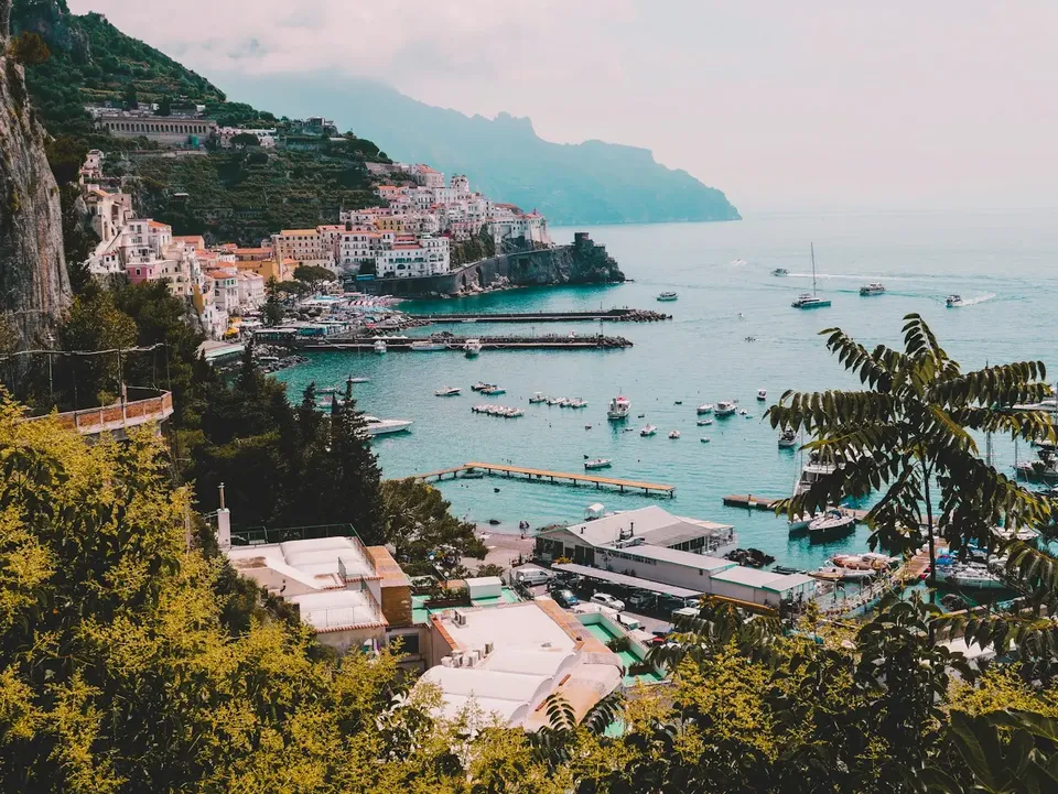
You start from the small square in Pontone, with its open view over the coast. It is a good place to get your bearings and to take one last look at Amalfi and Atrani before heading inland. If you have not already done so, the church of San Giovanni Battista is worth an exterior look, but here we are focusing on the walk.
Pontone is a quiet village, with very little traffic: that alone changes the pace. You leave the houses behind and take the path with the feeling of entering a landscape that is more domestic than spectacular.
Along the path: steps, dry-stone walls and terraces
The middle stretch is the heart of the itinerary. The route alternates steps, mule tracks and short passages among scattered houses, with the terraced slopes as the most recognizable sign of human work on the Coast. Now and then the vegetation opens and the sea appears, then closes again, and the relationship with the landscape keeps changing.
Pontone is also a point of passage toward the Valle delle Ferriere: along the route you can notice the branches that peel off toward the cooler, wooded environment of the valley. That is another excursion, but knowing it exists gives depth to this walk.
The other hamlets of Scala
As you approach the heart of Scala, you encounter other inhabited clusters, such as Minuta, which are part of the same fabric of villages. They are small groups of houses, little churches and domestic views, often silent.
This is the moment to slow down even more: observe the doorways, the internal stairways, the small shared spaces. The hamlets do not have monuments to "tick off" a list, but together they clearly convey the idea of how people lived higher up, away from the shore.
Arrival in Scala
Scala is considered one of the oldest centers on the Coast and has a historical link with the Republic of Amalfi. Here you will find the Duomo dedicated to San Lorenzo, the natural reference point for ending the walk: a stop in the square, a stroll through the little streets and time to understand why the village played an important role in the history of the coast.
Opening hours for churches and places open to visitors vary: it is best to check them in advance on official sources.
The return and alternatives
There are several options. You can return to Pontone by the same path, seeing the landscape from another direction, or continue toward Amalfi using the footpaths that descend from the hilltop villages. The long stairway connecting Pontone to Amalfi allows you to close the loop toward the sea, but it is demanding both uphill and downhill.
If you prefer a less tiring return, consider the local public transport services, checking routes and timetables on official channels, as they change during the year.
When to go
The coolest hours of the day are the best, especially in the warmer months, because the exposed stretches can become tiring. In spring and autumn the light is softer and the walk more pleasant. Avoid rainy days or the period immediately after, when the stone is slippery and some stretches can be tricky.
Frequently asked questions
Is the route from Pontone to Scala suitable for everyone?
It requires a minimum level of fitness, because there are steps and changes in elevation. It is best to check the condition of the paths in advance with the Municipality or local tourist offices and to adjust the pace to your own abilities.
Can the route also be done in the opposite direction, from Scala to Pontone?
Yes, the two villages are connected by paths that can be walked in both directions. The perspective and the physical effort change, so choose according to how you prefer to tackle stairs and elevation changes.
Where can I find updated information on paths and transport?
Contact official sources: the Municipality of Scala, the tourist offices of the Coast and the public transport operators. Trail conditions, opening times and connections can change.
Sources and useful links
Times, prices and services can change: always check with the official sources before you travel.
Updated: 2026-10-26