A village born to walk
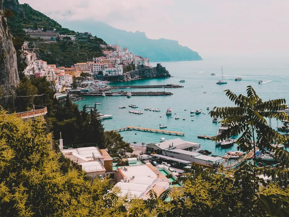
Before paved roads existed, mule tracks and stairways were used to move between the towns of the Coast. Scala, considered by tradition the oldest village in the area, is in an intermediate position: above Amalfi and opposite Ravello. Even today, this layout is visible in the landscape, where the old paths climb and descend between the hamlets.
Walking here means following a historic infrastructure built by people who worked the land and traded from one town to another. For this reason, many routes are paved or stepped and cross fields, small settlements, and stretches of woodland.
How to read the geography of the connections
The ideal starting point is to understand where you are. Scala is divided into several hamlets: Minuta, Campidoglio, Santa Caterina, San Pietro, and Pontone. They are scattered at different elevations and in different positions, so where you start changes the length and elevation gain of the walk.
Toward the sea, you descend in the direction of Amalfi. On the other side, a deep ravine separates Scala from Ravello: the two towns face each other from afar, but reaching one from the other on foot means going down and then climbing back up.
Toward Amalfi: the descent through terraces
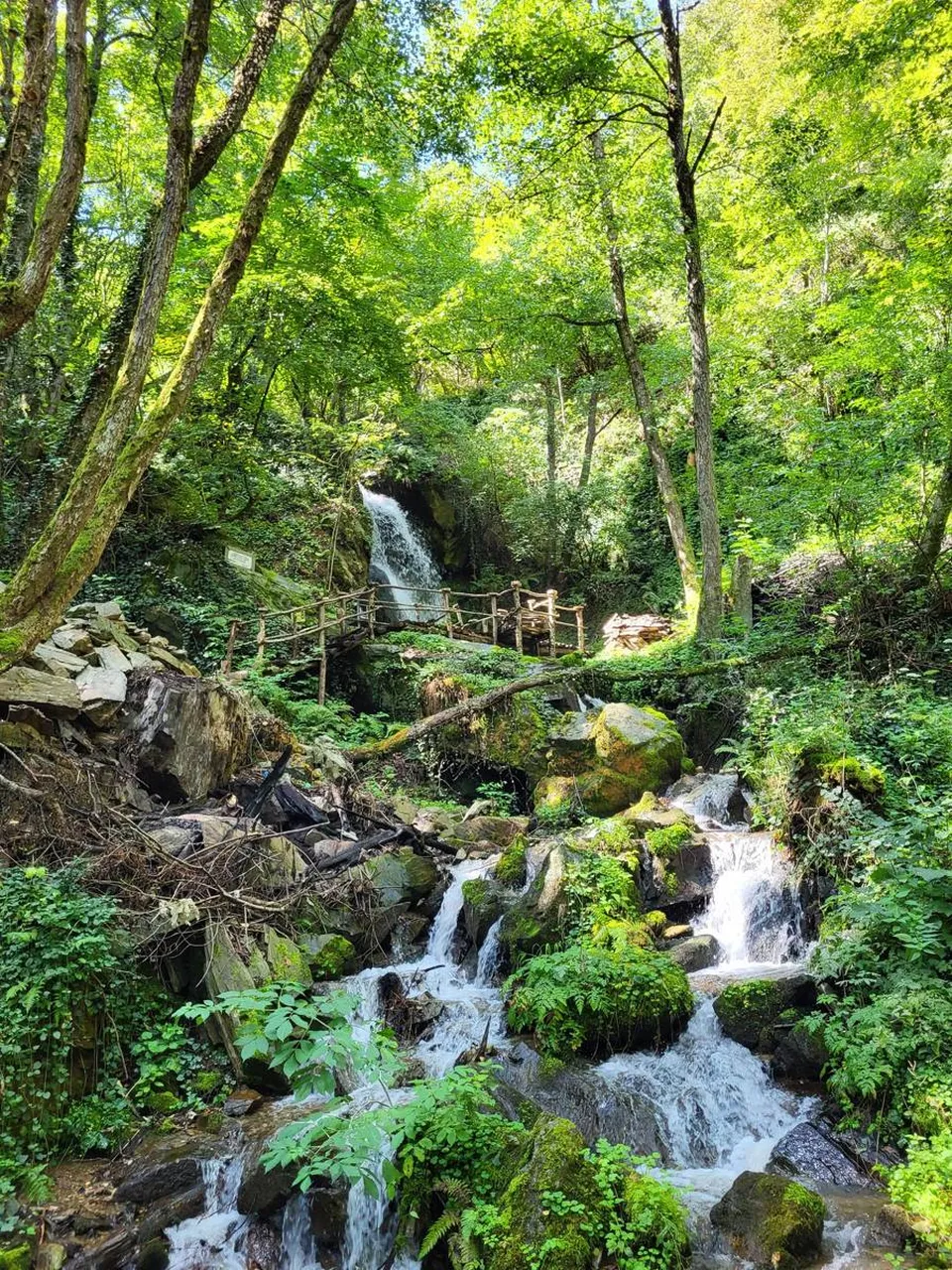
The route toward Amalfi is the most natural one: you lose elevation passing through terraces and stone walls, with glimpses of the sea opening up here and there. It is a descent made largely of steps, one that tests knees and ankles more than you might expect.
Those who want to avoid a one-way trip can consider returning by bus from Amalfi, with the service climbing back up to Scala. It is worth checking days and schedules in advance on official transport channels, as they may vary.
Toward Ravello: down and back up
The route toward Ravello is different in spirit: it is not a simple descent but a crossing. You go down to the bottom of the ravine, where the air is cooler and the vegetation denser, and climb back up on the opposite slope.
It is an itinerary suited to those who are well trained and not afraid of successive changes in elevation. In return, it offers an unusual view of the two towns, seen from below and from perspectives the road does not provide.
Chestnut woods and hamlets as waypoints
A good idea is not to think of the path as a straight line between two destinations, but as a sequence of stops. The hamlets of Scala work as natural reference points: you can break up the walk, look at the smaller churches, and catch your breath before the next stretch.
Up high, the chestnut woods offer shade on hot days and clear colors in autumn. They are the coolest part of the excursion and the one where the sound of the coast seems far away.
What to bring and how to prepare
Even a short route here involves many steps. A few simple precautions make everything more pleasant:
- shoes with a lugged sole, ideally lightweight hiking shoes;
- enough water, because along isolated stretches there may not be refill points;
- light layers, since the temperature changes between woods and coast;
- a rain jacket, because wet stone becomes slippery;
- a charged phone and, if possible, an offline map downloaded.
It is best to set out in the morning, to have daylight to spare and not rush the descents.
Official information and respect for the territory
Trail conditions can change: landslides, maintenance, or weather conditions may make a stretch temporarily impassable. Before setting out, check updated information with the municipality, land management bodies, or local hiking associations.
A particular warning concerns the upper part of the Valle delle Ferriere, reachable from the territory of Scala: it is a protected area with regulated access, so it should only be approached after checking the current rules. Along all routes, take your rubbish with you, stay on the trail, and respect the private fields that often border the path.
Frequently asked questions
Can you walk from Scala to Amalfi?
Yes, there are historic pedestrian links between Scala and Amalfi, largely made up of stairways and mule tracks. Before setting out, check official sources to make sure the route you choose is open and in good condition.
Is the route between Scala and Ravello easy?
It requires at least some training, because the two towns are separated by a ravine and reached by going down and then climbing back up. It is a more demanding walk than a simple stroll and is best tackled with suitable footwear.
How do you get back to Scala after descending to Amalfi?
From Amalfi there is a bus connection to Scala. Check days and schedules on official transport channels, because they may change depending on the season.
Sources and useful links
Times, prices and services can change: always check with the official sources before you travel.
Updated: 2026-10-26