A vertical village, stitched together by trails
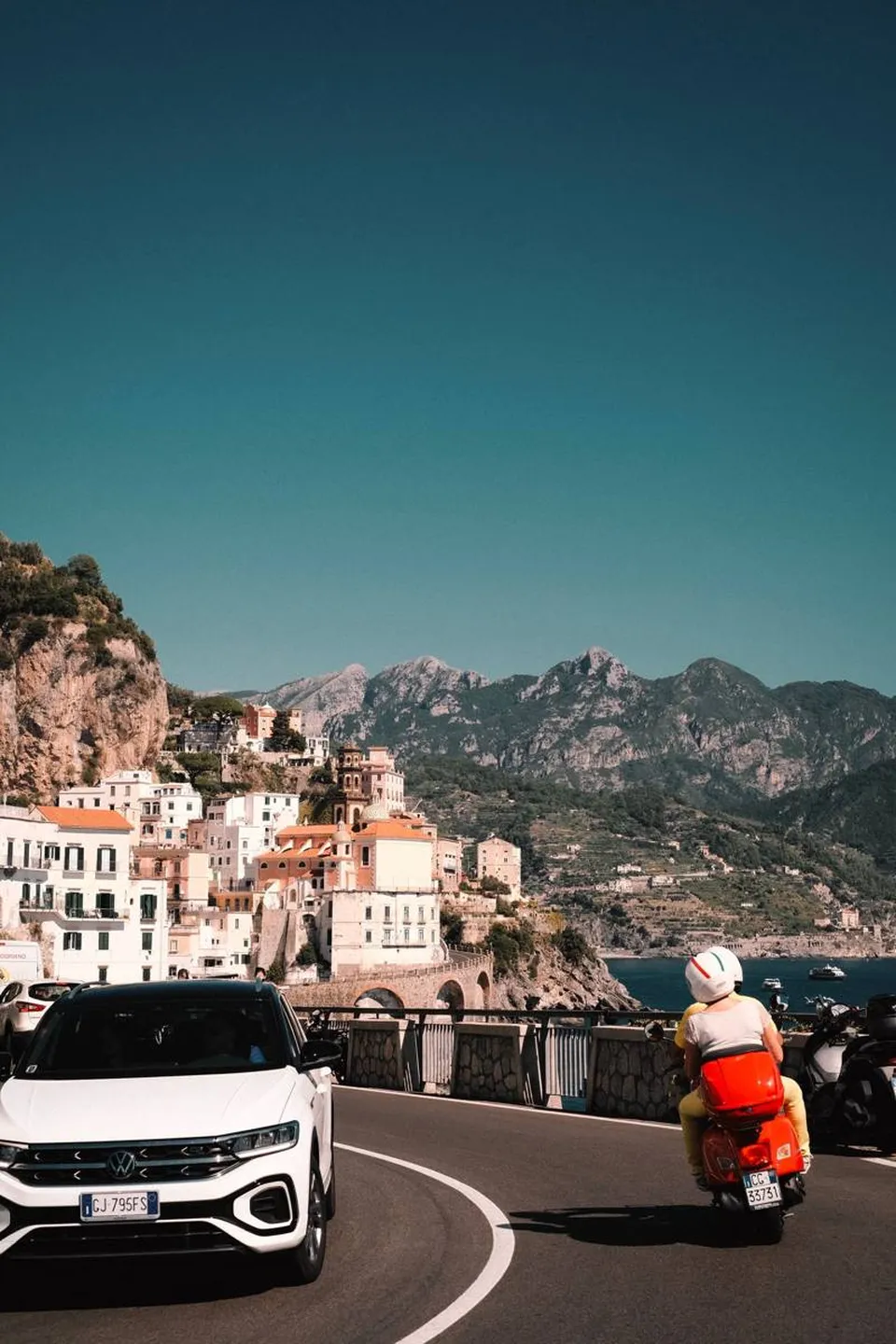
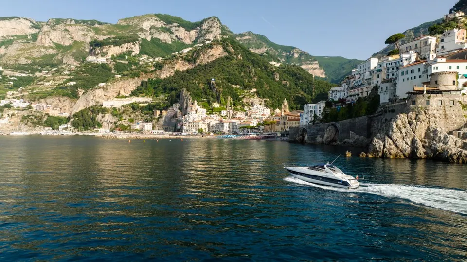
In Furore there is no true square around which village life revolves: the houses are spread along the slope, at different elevations, between the state road and the sea. In a place like this, footpaths are not an extra for hikers, but the old system linking homes, fields and the coast.
That is what makes hiking in Furore different from other routes on the Coast. You do not walk toward a single destination: you cross a dispersed village, with views that change at every bend in the trail.
From the upper village to the fjord: the descent to the sea
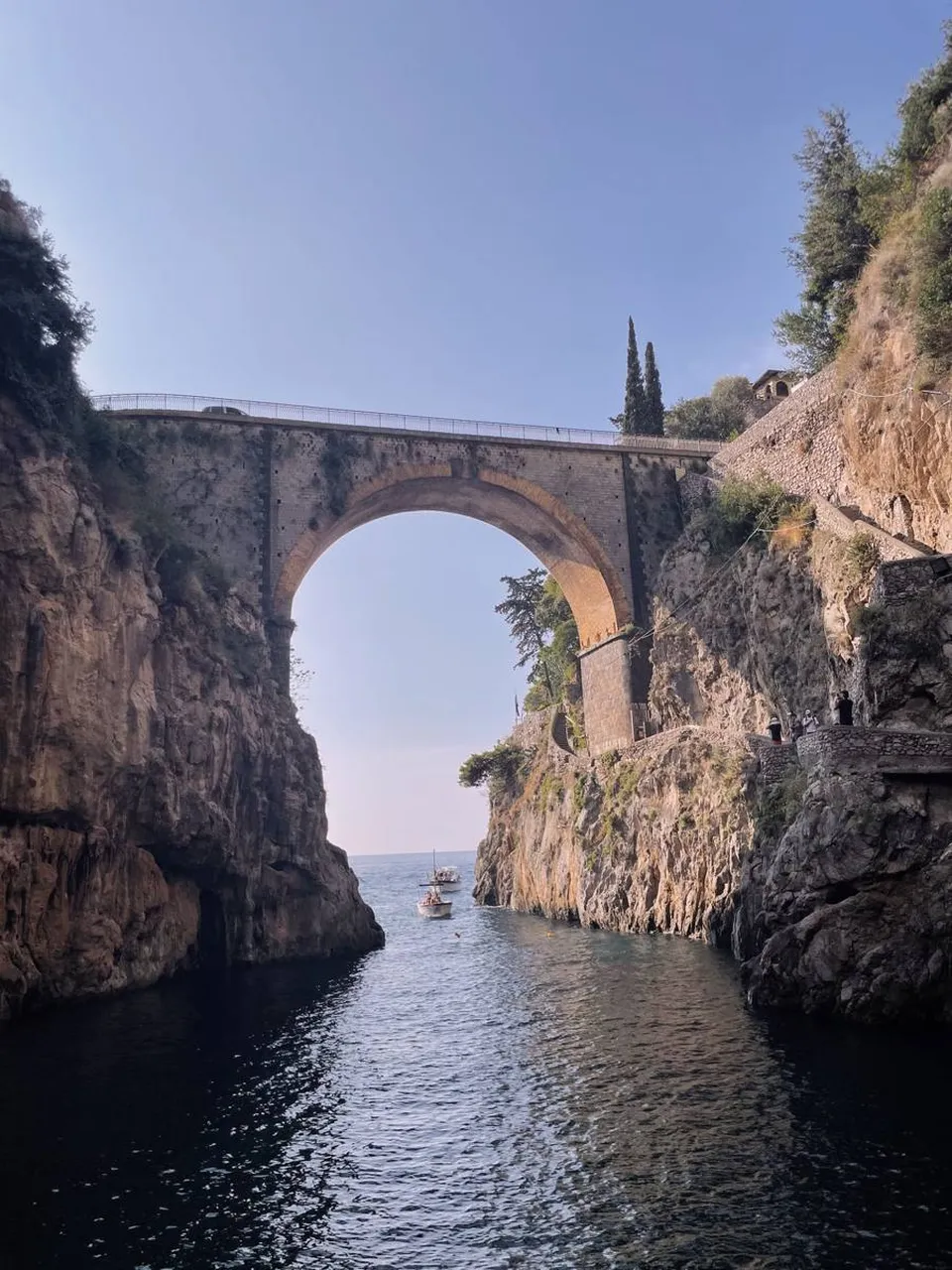
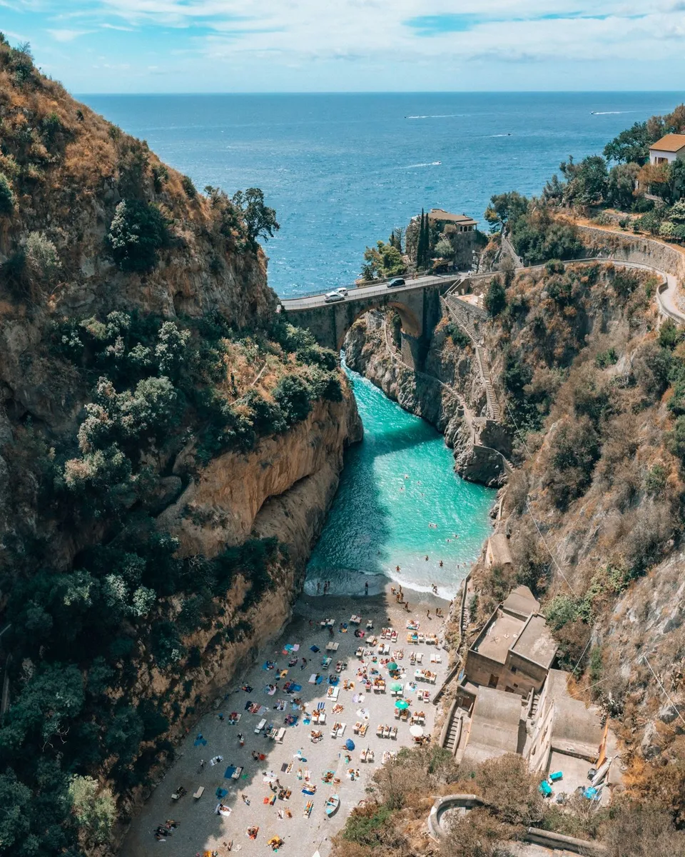
The most evocative route links the upper village, with its decorated walls, to the fjord gorge. You descend among gardens, terraces and dry-stone walls, with the blue of the Tyrrhenian Sea appearing and disappearing through the vegetation, until you reach the deep cleft in the rock.
When descending, it is worth already thinking about the way back: what feels light on the way down demands breath and legs on the climb up. The route is largely made up of steps and steep sections, so it is best to allow generous time.
Access to the small fjord beach may be limited for safety reasons: do not assume you can go all the way down, and check the situation on the municipality’s official channels before setting out.
Toward Agerola: from the coast to the plateau
From the village, other trails climb toward Agerola, on the plateau of the Lattari Mountains. The change of scenery is striking: you leave behind the terraces overlooking the sea and enter a broader, greener landscape of limestone slopes and open hillsides, where the air is fresher.
It is an itinerary suited to those who like walking with a clear goal and are not afraid of elevation gain. It can be done uphill starting from the coast or, more comfortably, starting from Agerola and descending toward Furore, then arranging the return by public transport, whose services and frequency should be checked on official websites.
Terraces, dry-stone walls and vineyards
Much of the appeal of these trails lies in what lines them. The slopes are shaped by terraces supported by dry-stone walls, built over the centuries to wrest arable land from the rock. Among these bands grow the vineyards that produce the wines of the Costa d'Amalfi Furore denomination.
The advice is simple: always stay on the path. Terraces and rows of vines are private property and the daily work of those who cultivate them, and the walls, fragile by nature, should not be climbed or used as support.
How to combine the sections
Furore is well suited to half-day walks, combining routes according to fitness and curiosity:
- a descent from the upper village to the fjord, returning the same way, for those who want a short but intense outing;
- a connection between Agerola and Furore, for those who prefer a broader itinerary, with an organized return;
- a walk among the upper houses, murals and terraces, without major elevation changes, for those seeking a more relaxed pace.
Conca dei Marini and the Emerald Grotto are very close, but it is best not to cram too many stops into the same day: here, the pleasure lies in walking slowly.
When to go and what to bring
The shoulder seasons, spring and autumn, are the most pleasant times to walk: soft light, milder temperatures and vegetation in bloom or colored by the grape harvest. In midsummer, it is better to start early in the morning and avoid the central hours, when the sun-exposed sections become tiring.
Your backpack should include:
- trekking or trail shoes with well-marked soles, because the stone steps can be slippery, especially after rain;
- enough water, since along the way there are not always places to refill;
- a hat, sunscreen and a light windproof layer;
- a charged phone and, if possible, a map downloaded in advance, because coverage can be patchy in the gorges.
Safety and official information
The trails of the Coast are subject to changes: landslides, heavy rain or maintenance work can make a section temporarily closed or difficult to pass. Before setting out, check the communications of the Municipality of Furore, the body that manages the Lattari Mountains Regional Park, and local hiking associations.
If the weather is unstable or the signage is unclear, turn back or shorten the route. On these slopes, a less ambitious but well-calibrated outing is far better than a risky choice.
Frequently asked questions
Are the trails in Furore suitable for everyone?
Not entirely. Many sections are steep and made of steps, so a minimum level of training and proper footwear is needed. For an easier outing, you can choose a walk in the upper village, among murals and terraces, avoiding major elevation changes.
Can you always go down to the fjord beach?
No. Access to the beach may be limited for safety reasons. Before organizing the descent, it is best to check the situation through the municipality’s official communications.
Can you walk from Furore to Agerola?
Yes, there are trails connecting the upper village to Agerola. Before setting out, check the condition of the routes and plan your return, verifying public transport through official channels.
Sources and useful links
Times, prices and services can change: always check with the official sources before you travel.
Updated: 2026-10-26