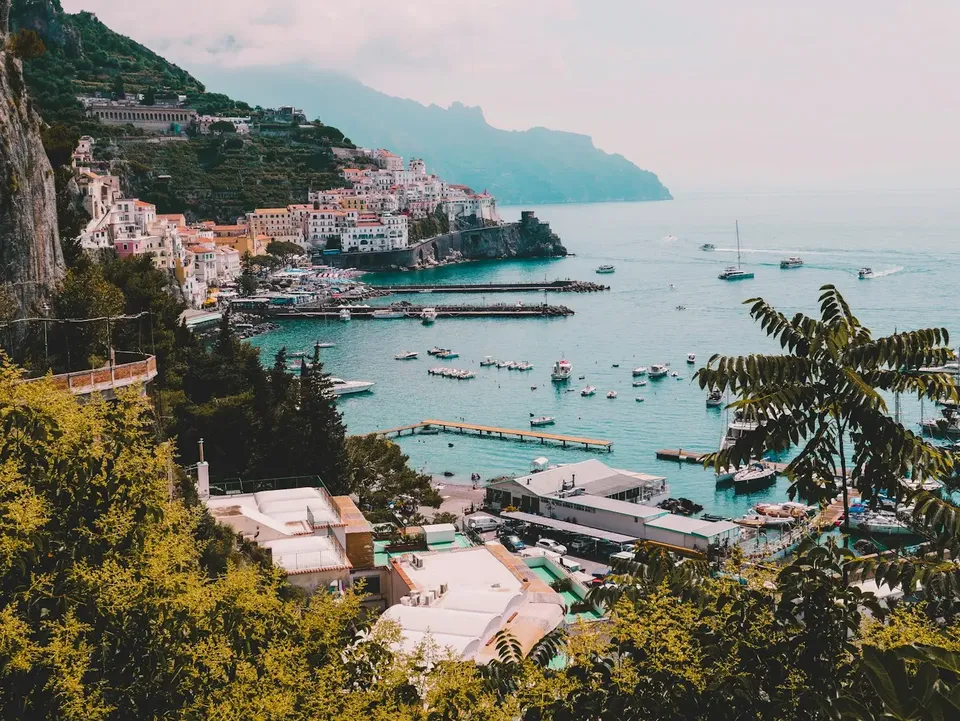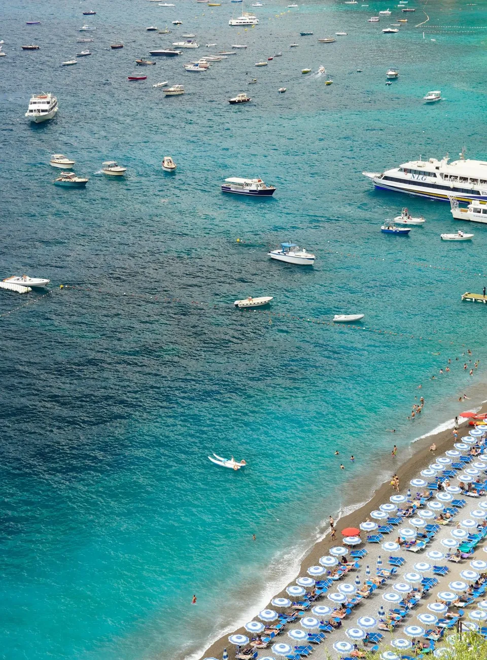
A plateau that is a crossroads of routes
Agerola is at about 600 meters above sea level, above Furore and Conca dei Marini, and it is a strategic position for walkers. From here you can descend to the sea, move along the ridge toward Positano, or stay at altitude, among fields and woods.
These trails were once the everyday links between hamlets, pastures and coastal villages. Today many have become hiking routes, but they still retain their original character: stone, uneven steps, dry-stone walls.
The Lattari Mountains Regional Park as a backdrop
The plateau is part of the great mountain system of the Lattari Mountains, protected by the Regional Park of the same name. It is an area where the sheer coast and the wooded inland meet at close range, and this makes every outing different from the next.
To choose an itinerary, it is best to start from official sources: up-to-date hiking maps, the Park’s guidance and those of the local CAI sections. These are the most reliable references for signage, difficulty and trail conditions.
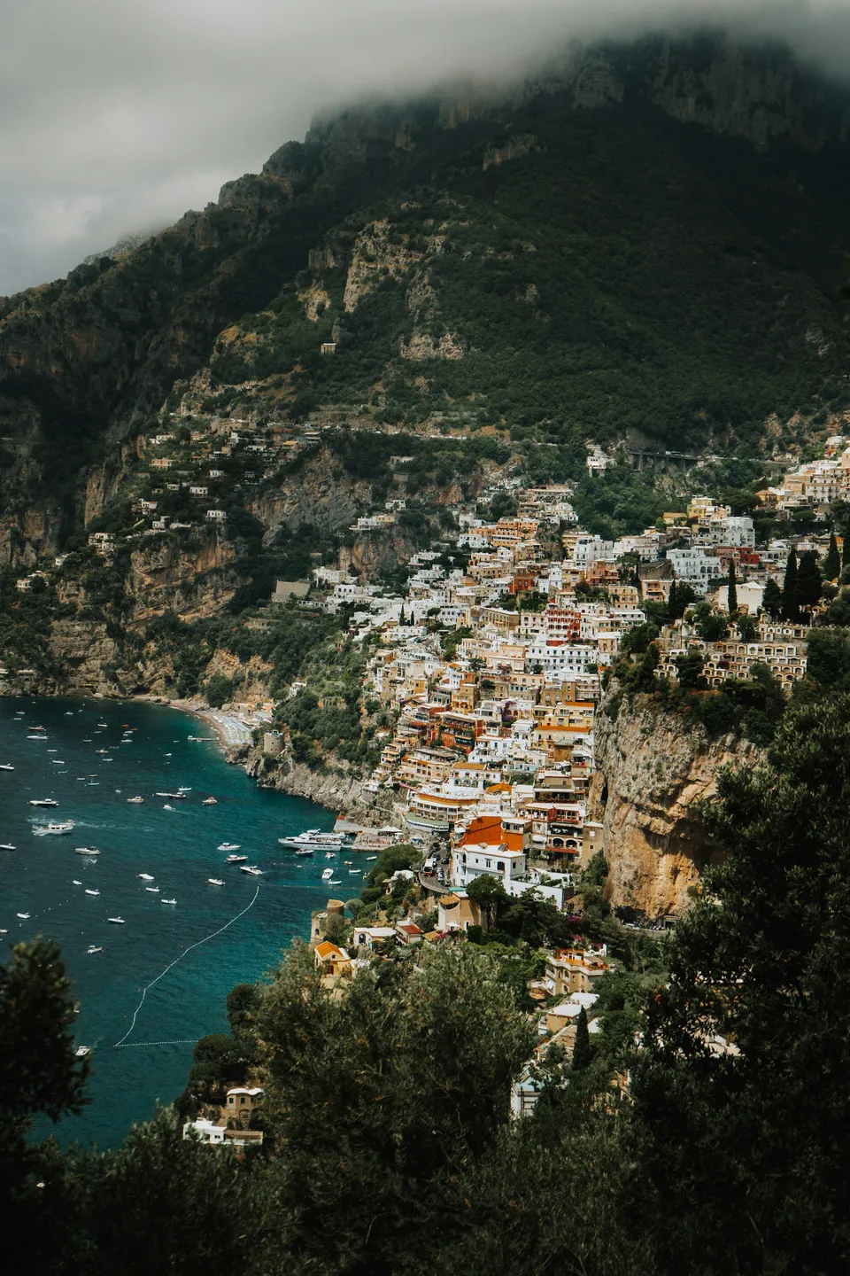
Descents to the sea: Furore and Conca dei Marini
On the southern side, trails and stairways connect the plateau to the villages on the coast. These are routes that quickly change the landscape: from the cool air of Agerola you move to a more Mediterranean vegetation, down to the blue of the Tyrrhenian Sea.
Keep in mind that whoever descends will then have to climb back up, or arrange the return by bus. Before setting out, check the available connections on official channels, as they may vary depending on the season and the day.
Walking among the hamlets
A discreet way to get to know Agerola is to link its hamlets on foot: Bomerano, Pianillo, San Lazzaro, Campora, Ponte. Secondary roads and old footpaths cross vegetable gardens, pastures and small clusters of houses.
It is a gentler walk, suited to those who are not looking for major elevation gain. Along the way you encounter traces of the dairy tradition that shaped the landscape, and you can stop at the viewpoint of San Lazzaro to look out over the sea from above.
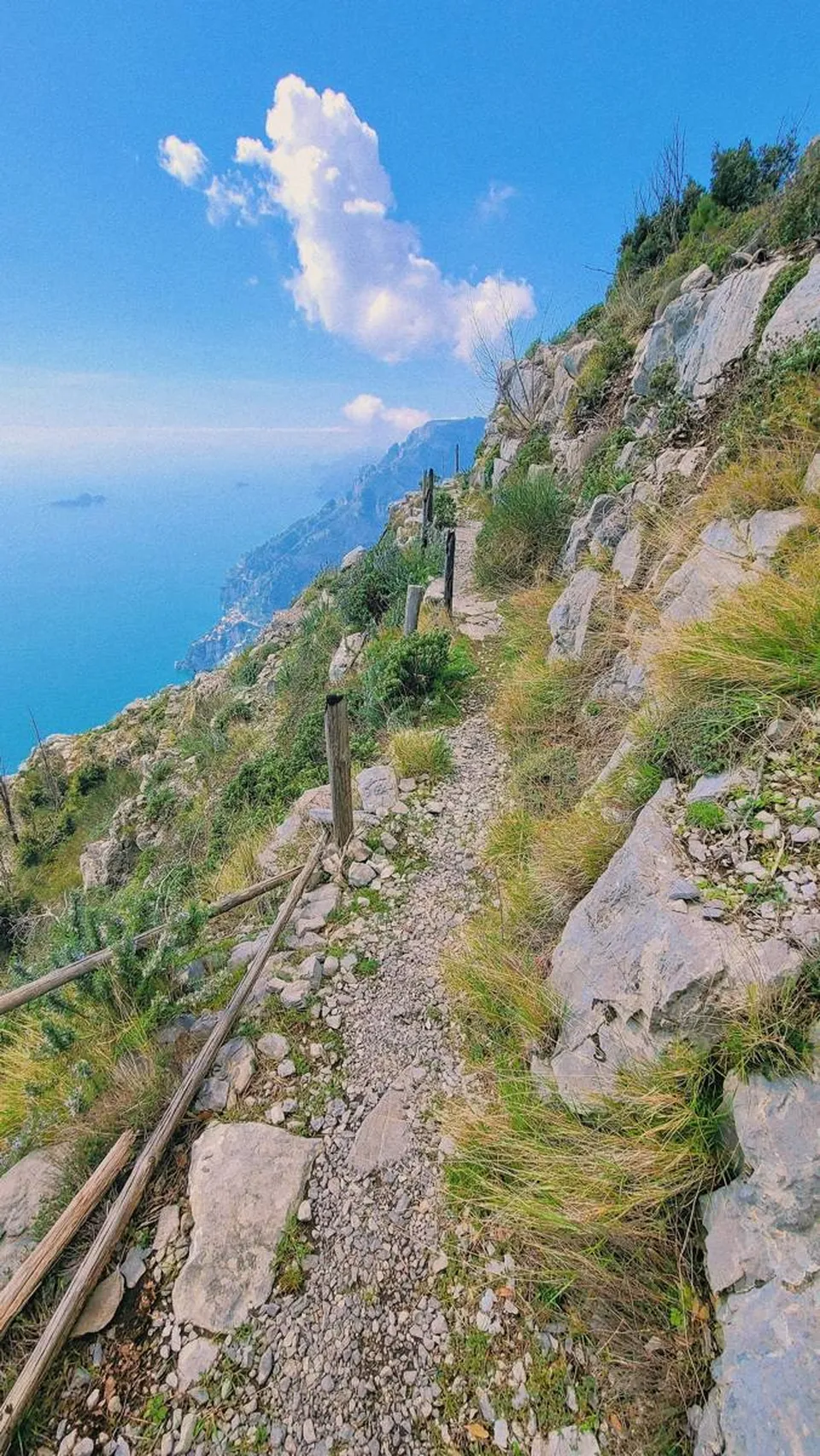
Woods and higher elevations
The climate of the plateau is cooler than that of the coast, and on summer days the wooded stretches provide shade and relief. As you climb toward the ridges, the landscape opens up and the views widen on both sides of the Sorrento and Amalfi peninsulas.
Hikes at higher altitude require more preparation: changeable weather, uneven ground and fewer support points. Study the map, assess your experience and, if you do not know the area, consider going with a qualified hiking guide.
Getting ready: practical tips
Some rules apply to every outing on the Lattari:
- hiking shoes with a well-marked sole, because stone and leaves can be slippery;
- enough water and something to eat, since there are not always services along the trails;
- layers of clothing, because at 600 meters and above the temperature can be different from that on the coast;
- a charged phone and a map, even if downloaded offline, remembering that coverage is not guaranteed everywhere;
- respect for the environment: take your rubbish with you, do not leave the marked trails and do not light fires.
Before every excursion, check the weather conditions and any ordinances or closures affecting the trails, which depend on landslides, maintenance or fire risk.
When to go
Spring and autumn are generally the most pleasant times for walking: mild temperatures, clear light and changing vegetation. In summer it is best to set out early and choose the shaded sections, while in winter you need to pay more attention to rain, wind and wet ground.
Whatever the season, leave some margin for daylight and do not improvise the return. The Path of the Gods remains the great classic, but it is often a lesser-known alternative that gives the silence so many people are looking for up here.
Frequently asked questions
Can you walk from Agerola without doing the Path of the Gods?
Yes. The plateau is linked by numerous routes that descend toward Furore and Conca dei Marini, cross the hamlets or climb into the woods of the Lattari Mountains. To choose an itinerary, consult updated maps and the guidance of the Regional Park and the CAI.
How can I check whether a trail is passable?
Turn to official sources: the Lattari Mountains Regional Park, the CAI, the municipality and civil protection. They may report closures or ordinances linked to landslides, works or fire risk, which change over time.
Do I need a guide or is a good map enough?
On the most popular and well-marked routes, an updated map and some experience may be enough. For higher-altitude or less frequented sections, it is wise to go with a qualified hiking guide.
Sources and useful links
Times, prices and services can change: always check with the official sources before you travel.
Updated: 2026-10-26