Where it is and why it matters to know
Agerola is a plateau in the province of Naples, even if in terms of views and connections it often looks to the Amalfi Coast. It is located on the Lattari Mountains, in a higher position than the coastal towns, and is made up of several hamlets: Bomerano, Pianillo, San Lazzaro, Campora, and Ponte.
This scattered layout has a practical effect: «getting to Agerola» can mean getting off in different places, depending on what you want to do. Before booking accommodation or planning a hike, it is worth asking which hamlet is actually your destination.
By bus from Amalfi
From Amalfi there is a bus connection that climbs up to the plateau. It is the most natural option for those staying on the Coast and wanting a day at altitude without using a car.
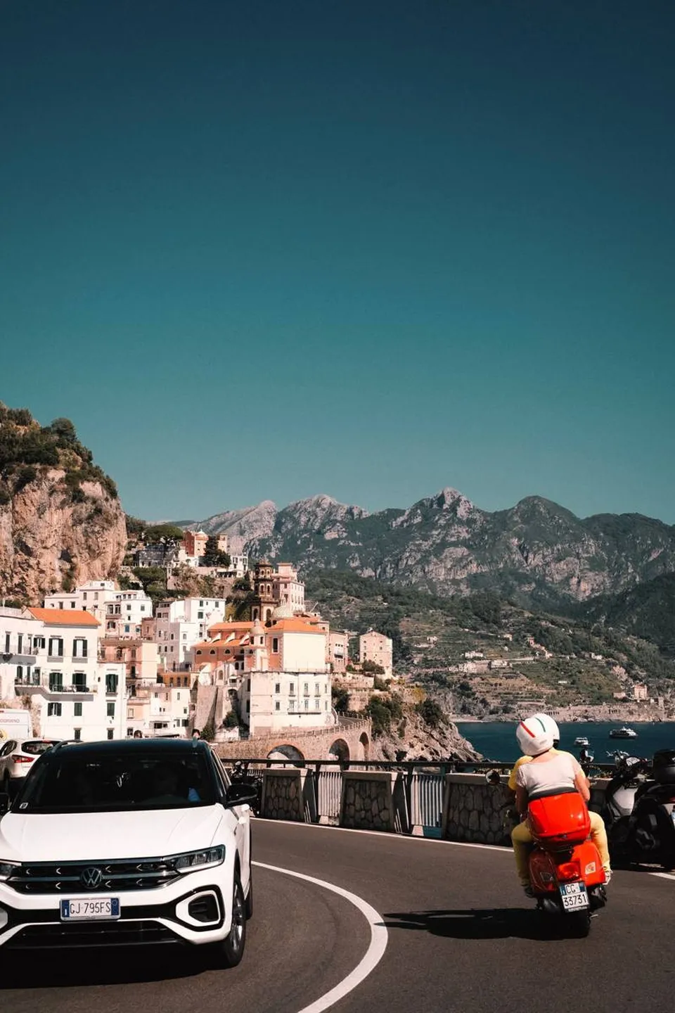
The road is full of bends and hairpin turns, with views of the sea: anyone prone to motion sickness should prepare accordingly. Timetables, frequency, and stops change with the seasons and on public holidays, so they should be checked on the transport operator’s official channels and in the Municipality’s notices before setting off.
By bus from Castellammare di Stabia
The second public connection leaves from Castellammare di Stabia, on the Naples side, and is the most convenient for those arriving from Naples, Pompeii, or the Sorrento Peninsula.
Castellammare is served by train: from Naples and Sorrento you can reach it by rail and then continue by bus. For this route, it is worth paying close attention to the connections and finding out where the departure stop is in relation to the station.
From Salerno, Positano, and Sorrento: how to combine the legs
According to the information we have, there are no direct connections from all the places in the area: often you need to change. From Salerno you can reach Amalfi, by sea during the maritime service season or by bus along the coast, and from there go up to Agerola. From Positano the route is the same: first Amalfi, then the plateau.
From Sorrento, the alternative is to go down to Castellammare di Stabia and take the bus for Agerola. In all cases, allow plenty of time between connections, especially if you have a fixed commitment such as a hike or a dinner.
By car: roads and caution
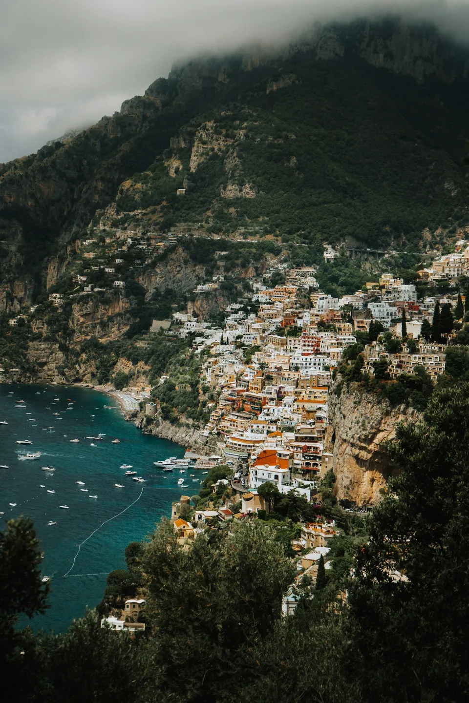
Those choosing to drive can climb up from the Amalfi Coast or arrive from the Castellammare di Stabia side, exiting the motorway in the direction of the Lattari Mountains. These are mountain roads: variable width, tight bends, and in summer, weekend traffic.
One piece of advice that applies everywhere in the area: use your navigation system, but also check for any reports of roadworks or closures. Parking availability varies from hamlet to hamlet and during busier periods: find out in advance about local rules.
Getting around the hamlets
Once on the plateau, the distances between Bomerano, Pianillo, San Lazzaro, Campora, and Ponte are covered by local transport, by car, or, for shorter stretches, on foot. Do not assume that every hamlet has the same number of services: if you want to visit more than one, check in advance how to connect them.
San Lazzaro, with its sea viewpoint, and Pianillo, where the Lauritano Castle stands, have different characteristics from Bomerano. Choosing where to get off the bus is part of the planning.
If the goal is the Path of the Gods
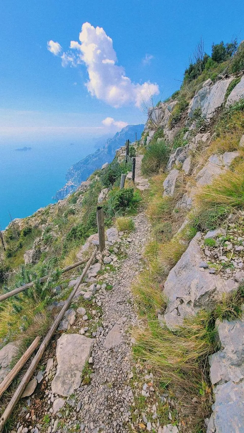
The Path of the Gods starts in Bomerano and ends in Nocelle, above Positano. From a transport point of view, this means the outward and return journeys do not coincide: you start in one place and finish in another.
- Think in advance about how you will get back after arriving in Nocelle.
- Check the timetable of the last useful service, without relying on memory or outdated information.
- Verify that the trail is open on official sources, because access and conditions can change.
For the route itself, please refer to the dedicated guide.
Before you go: what to check
Timetables, frequency, stops, and public transport routes are subject to change, including because of strikes, roadworks, or bad weather. The most reliable sources are the operators’ websites, municipal information, and traffic notices.
Bring water and a light jacket with you: the plateau is cooler than the coast, and while waiting for a connection, you will feel the difference.
Frequently asked questions
Can you get to Agerola without a car?
Yes. There are bus connections from Amalfi and from Castellammare di Stabia. Check timetables and stops on the official channels, as they vary by season.
Which side is better for going up, Amalfi or Castellammare di Stabia?
It depends on where you are: from Amalfi, Positano, or Salerno it is more natural to go via Amalfi, while from Naples or Sorrento Castellammare di Stabia is more practical, and it can also be reached by train.
How do you organize the return after the Path of the Gods?
The trail ends in Nocelle, above Positano, so the return requires planning. Check in advance the available connections and the trail’s accessibility on official sources.
Sources and useful links
Times, prices and services can change: always check with the official sources before you travel.
Updated: 2026-10-26